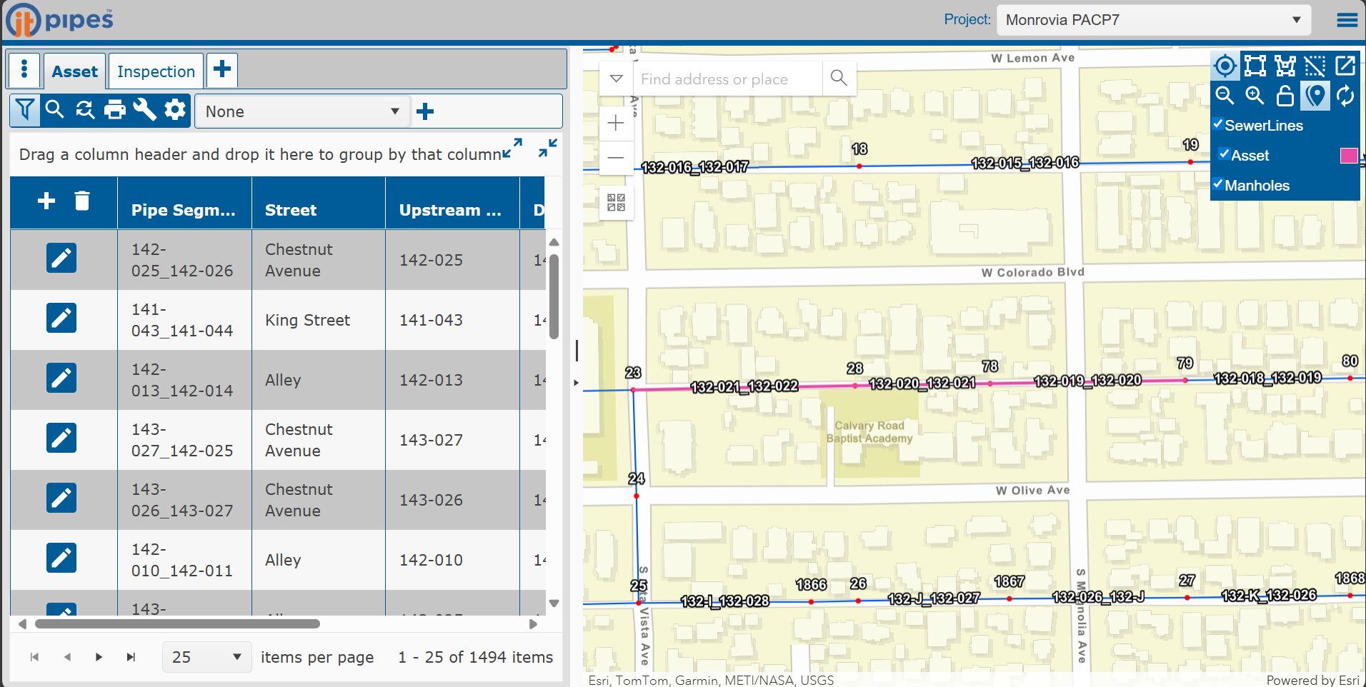
Best Practices for Pipeline Inspection data with GIS

Integrating inspection data with GIS is one of the most effective ways to manage underground infrastructure. When done right, it transforms raw video and condition data into actionable insights for planning, maintenance, and capital improvement projects. This white paper highlights the proven methods agencies are using to connect inspection results with GIS for smarter decision-making.

Please fill out this form to keep reading

By clicking "Submit" you agree to receive other communication from ITpipes and allow ITpipes to store and process your personal data. You can unsubscribe from these communications at any time.

hero-image

What You’ll Learn:

  • Why GIS integration is critical for long-term asset management
  • Steps to improve the accuracy and usability of inspection data
  • Key considerations for data formats, standards, and workflows
  • How to leverage GIS to prioritize repairs and capital planning